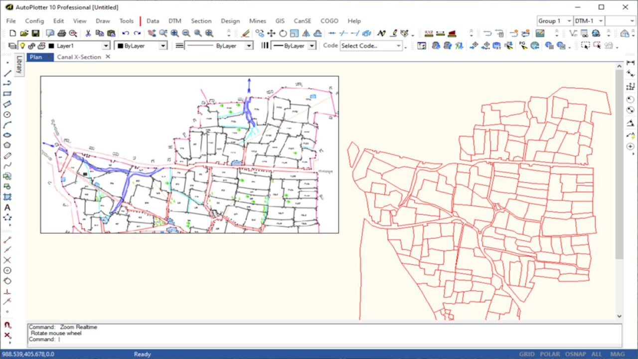
GIS Mapping Software
India
Price:
Check with Seller

More Details
- Ad ID #00142554
- Views 107
- Contact Person Infycons Creative Software
- Contact Number 8884404874
- Added on January 13, 2025
- Last Updated 10 months ago
- Location: India
- Price: Check with Seller
- https://infycons.com/autoplotter-gis/
Description
AutoPlotter GIS bridges the gap between land surveying and GIS mapping, offering easy workflows and advanced functionality for data visualization and analysis. Generate and edit maps efficiently, automatically create parcels and blocks for complete GIS coverage, and attach attributes to map entities for deeper data interpretation using this GIS mapping software. Leverage its flexible data import capabilities and field data capture tools to integrate various formats and accelerate project progress. Simplify data visualization with features like parcel creation, polygon extraction, geo-referenced images, and GIS drawing with layers, empowering informed decision-making throughout your projects.
Infycons Creative Software
Total 1 Ads Posted
See all ads
Contact details
04874XXXXX
Reveal
Add to Favorite
Report

Leave a Reply
Your email address will not be published. Required fields are marked *